Weather and Tide Table
Sunset
Sunrise
0% | 3,3 m 10.8 ft | High Tide | |
1% | 0,7 m 2.3 ft | Low Tide | |
1% | 3,3 m 10.8 ft | High Tide | |
2% | 0,7 m 2.3 ft | Low Tide | |
2% | 3,3 m 10.8 ft | High Tide | |
3% | 0,7 m 2.3 ft | Low Tide | |
4% | 3,2 m 10.5 ft | High Tide | |
5% | 0,8 m 2.6 ft | Low Tide | |
6% | 3,2 m 10.5 ft | High Tide | |
7% | 0,8 m 2.6 ft | Low Tide | |
9% | 3,1 m 10.2 ft | High Tide | |
10% | 0,9 m 3 ft | Low Tide | |
12% | 3,1 m 10.2 ft | High Tide | |
13% | 1,0 m 3.3 ft | Low Tide | |
15% | 2,9 m 9.5 ft | High Tide | |
17% | 1,1 m 3.6 ft | Low Tide | |
19% | 3,0 m 9.8 ft | High Tide | |
21% | 1,1 m 3.6 ft | Low Tide | |
23% | 2,8 m 9.2 ft | High Tide | |
25% | 1,2 m 3.9 ft | Low Tide | |
27% | 2,9 m 9.5 ft | High Tide | |
29% | 1,3 m 4.3 ft | Low Tide | |
31% | 2,6 m 8.5 ft | High Tide | |
34% | 1,4 m 4.6 ft | Low Tide | |
36% | 2,7 m 8.9 ft | High Tide | |
39% | 1,4 m 4.6 ft | Low Tide | |
41% | 2,4 m 7.9 ft | High Tide | |
44% | 1,5 m 4.9 ft | Low Tide | |
46% | 2,6 m 8.5 ft | High Tide | |
49% | 1,5 m 4.9 ft | Low Tide | |
52% | 2,4 m 7.9 ft | High Tide | |
54% | 1,6 m 5.2 ft | Low Tide | |
57% | 2,6 m 8.5 ft | High Tide | |
60% | 1,4 m 4.6 ft | Low Tide | |
63% | 2,5 m 8.2 ft | High Tide | |
65% | 1,5 m 4.9 ft | Low Tide | |
68% | 2,8 m 9.2 ft | High Tide | |
71% | 1,2 m 3.9 ft | Low Tide | |
73% | 2,7 m 8.9 ft | High Tide | |
76% | 1,3 m 4.3 ft | Low Tide | |
78% | 3,0 m 9.8 ft | High Tide | |
80% | 1,0 m 3.3 ft | Low Tide | |
83% | 2,9 m 9.5 ft | High Tide | |
About the Beach
What is Praia da Costa de Lavos Beach?
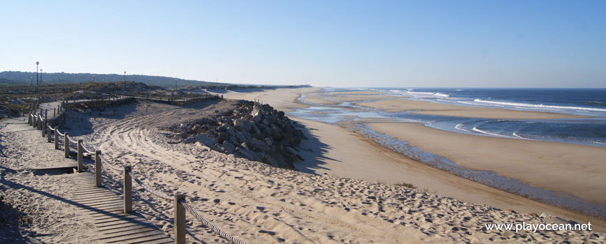
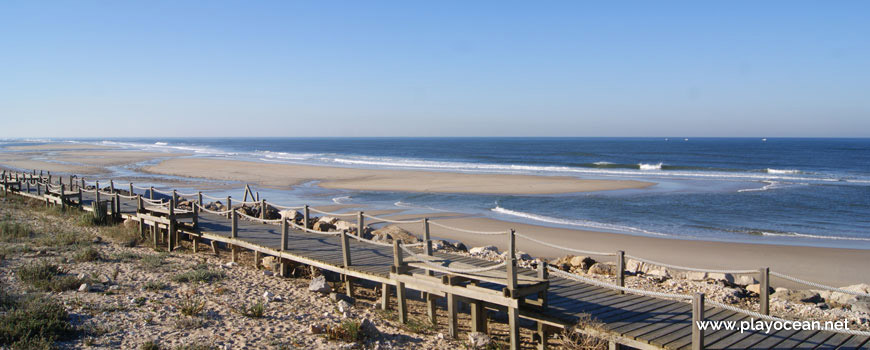
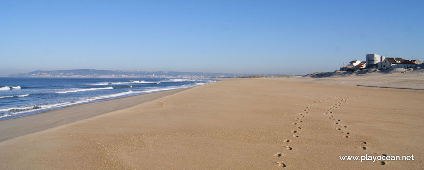
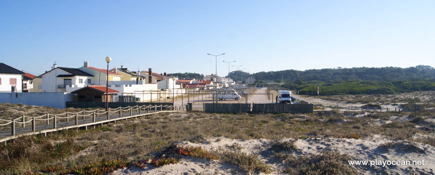
It's an Oceanic Beach in the northern hemisphere bathed by the Atlantic Ocean, located on the coast of Portugal - Iberian Peninsula - in the municipality of Figueira da Foz.
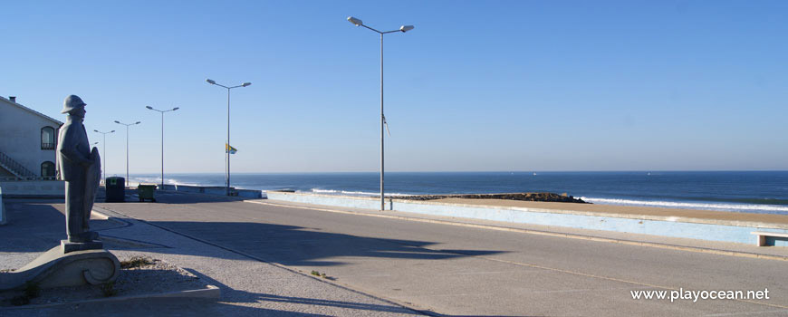
Praia da Costa de Lavos Beach is part of the sea front of the village sharing the same name as this beach.
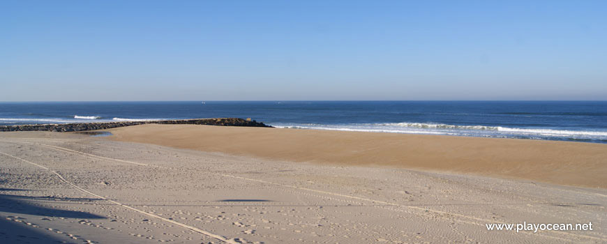
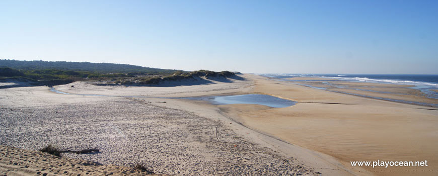
The sand is very long with about 5,8 Km and there's a flowing stream right south of the village.
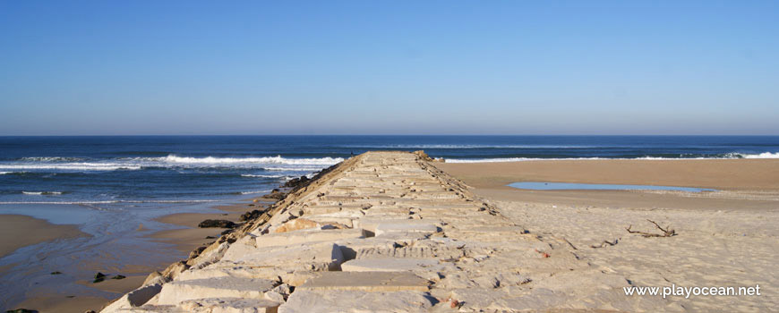
A pier dividing the beach is a landmark in the sand which stretches far to the north and south from Costa de Lavos village. In the southern end flows the Rego do Meio d'Água1.
This shoreline is simply perfect for those seeking calmness and contact with nature.
Access is done by Itinerário Complementar 1, turning to west on Estrada Municipal 625.
References
- Meio d'Água Stream
- Complementary Itinerary 1
- Municipal Road 625
Where is it?
Map of Praia da Costa de Lavos Beach
| Coordinates Decimal Degrees (Lat/Long WGS84) Degrees, Decimal Minutes (Lat/Long WGS84) Degrees, Minutes, Seconds (Lat/Long WGS84) |
Lat. 40.087781º Lon. -8.876770º N 40º 5.26686' W 8º 52.6062' N 40º 5' 16.01" W 8º 52' 36.37" |
| Parish | Lavos |
| County | Figueira da Foz |
| District | Coimbra |
| Region | Beira Litoral |
| Country | Portugal |
| Continent | Europe |
| Ocean | North Atlantic |
| Maritime Authority | Capitania do Porto da Figueira da Foz |
| Protected Area | |
| Bathing Water | Costa de Lavos |
| Coastal Unit | Foz do Rio Mondego (N) - Praia Velha (São Pedro de Moel) |
| Coastal Region | Costa de Prata |
Awards
| Award | 2017 | 2016 | 2015 | 2014 | 2013 | 2012 | 2011 | 2010 | 2009 | 2008 | 2007 | 2006 |
|---|---|---|---|---|---|---|---|---|---|---|---|---|
| Water Quality | ||||||||||||
| Blue Flag | ||||||||||||
| Gold Flag | ||||||||||||
| Handicapped-Accessible Beach | ||||||||||||
| Zero Polution |
